Artifact
Snapchat Feature Tracks Floodwaters, 2017
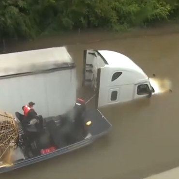
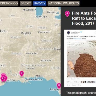
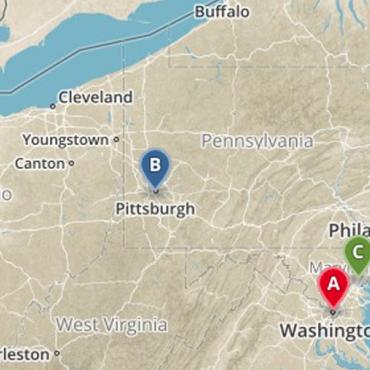
Snapchat feature Snap Maps puts public postings on a map as they are shared. During flooding caused by Harvey, this allowed users to see what was happening in specific areas.
Get even more great free content!
This content contains copyrighted material that requires a free NewseumED account.
Registration is fast, easy, and comes with 100% free access to our vast collection of videos, artifacts, interactive content, and more.
Sign Up
?
NewseumED is provided as a free educational resource and contains copyrighted material. Registration is required for full access. Signing up is simple and free.
With a free NewseumED account, you can:
- Watch timely and informative videos
- Access expertly crafted lesson plans
- Download an array of classroom resources
- and much more!
Artifact Date
August 2017
Topic(s)
- Journalism